Fish It Before You Float It: How Topo Maps Give Kayak Anglers an Unfair Advantage
Here's a dirty little secret that tournament kayak anglers don't exactly shout from the boat ramp: a lot of the "instinct" you see on the water was actually homework done at home. Before the paddle ever hit the water, before the first cast, somebody was sitting in front of a laptop zooming in on a lake they'd never touched, picking apart its underwater skeleton like a surgeon.
That's the edge. And if you're not doing it, you're leaving fish in the water.
Topographic map literacy isn't new to fishing — old-school bass boat guys have been using paper lake maps for decades. But for kayak anglers, the skill carries a different kind of weight. You're slower, quieter, and you can get into places a 20-foot bass boat will never dream of reaching. When you combine that physical access with a solid pre-launch map study session, you stop stumbling onto good spots and start targeting them with surgical precision.
Let's break down how to actually do this.
Why Topo Maps Matter More on a Kayak
A conventional bass boat angler using topo data is still largely limited to water deep enough to run a trolling motor and avoid the prop grinding gravel. They'll hit the obvious ledges, the main lake points, the classic tournament spots. And because those spots are obvious, they're pressured.
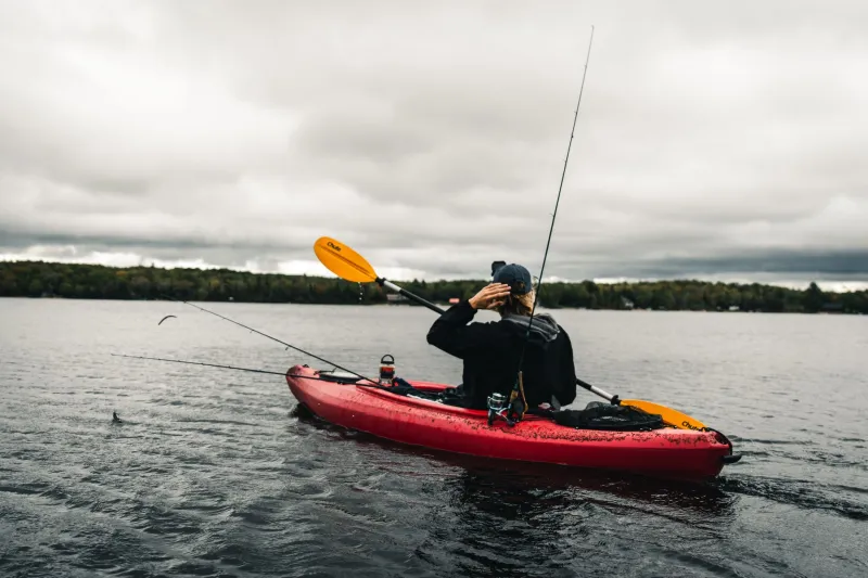
You don't have that problem. Your kayak draws maybe five inches of water. You can slide up into the back of a flooded creek arm that nobody's touched since the last heavy rain. You can park yourself over a submerged secondary point in three feet of water and work it without making a sound.
But here's the thing — those off-the-beaten-path spots don't announce themselves when you're paddling around blind. You need to know they're there before you show up. That's where topo maps come in.
The Free Tools You Should Already Be Using
You don't need to spend a dime to get started. Two tools cover about 90% of what you'll need.
Navionics Web App (navionics.com) — This is the gold standard for lake contour data. The free web version gives you access to detailed depth charts for lakes across the US. You can zoom in, trace contour lines, and start identifying structure before you've ever loaded your yak. The paid Navionics+ app for your phone or fish finder is worth every penny if you fish regularly, but the free web tool alone will change how you approach a new body of water.
Google Earth — Don't sleep on this one. When lake levels are low — late summer drawdowns are a prime time — Google Earth satellite imagery can reveal a ton of actual bottom structure that's normally underwater. You can see old creek channels, submerged roadbeds, timber lines, and even old fence rows. Pair that visual with your Navionics contour data and you've got a serious picture of what's happening down there.
On X Fish — A newer player in the space, On X Fish layers contour data with aerial imagery and even historical water level info. It's paid, but if you're fishing multiple bodies of water throughout the year, it's worth looking into.
What You're Actually Looking For
Once you've got a map pulled up, you're not just staring at squiggly lines. You're hunting for specific features that concentrate bass. Here's the short list of what to mark:
Submerged Points — Look for contour lines that push outward into the lake in a finger or wedge shape. These are points that were above water before the lake was impounded. Bass use them as highways, moving shallower to feed and deeper to rest. On a kayak, you can work the very tip of a point in ultra-shallow water that boat anglers ignore entirely.
Creek Channel Drops — Old creek and river channels running through the lake floor are bass magnets, especially in summer and winter when fish go deep. Find where a channel bends or where it intersects with a point, and you've found a potential honey hole. The drop from the channel shelf into the channel itself is prime real estate.
Saddles — A saddle is the low spot between two underwater high spots — think of it like a mountain pass, but submerged. Bass traveling between two points of structure will funnel through saddles. They show up on topo maps as a narrow gap between two sets of tightly-packed contour lines.
Ledges and Breaklines — Wherever contour lines bunch up close together, the bottom is dropping off fast. Those transitions — from a flat to a drop, or from a shallow shelf to deeper water — are where bass set up to ambush bait. A kayak angler can work both the top and the edge of a ledge with total stealth.
Flats with Isolated Depth Changes — A big, featureless flat is boring. But find a small depression, a single stump field, or a subtle two-foot bump in the middle of that flat, and you've got the kind of spot that holds fish precisely because it's the only thing going on for a hundred yards.
Building Your Pre-Launch Game Plan
Don't just look at the map and nod. Work it. Here's a simple process that takes about 30 minutes and pays off all day.
-
Pull up the lake on Navionics and spend a few minutes just getting oriented — where are the deep zones, where are the major flats, where do the creek arms run?
-
Cross-reference with Google Earth to see if low-water imagery reveals anything the contour lines alone don't tell you.
-
Mark 8-12 specific spots that check the boxes above — points, drops, saddles, ledges. Don't just mark the obvious ones. Look for the stuff that's slightly off the main lake, back in the secondary coves, up in the skinny water.
-
Think about season and conditions. In spring, bass are moving shallow — focus on those submerged points and flat transitions close to spawning coves. In summer, they're deep — lean on ledges and channel bends. Post-frontal conditions push fish tighter to structure.
-
Plan a logical paddle route. Unlike a power boat that can run across the lake in two minutes, you're committing time to each area. Build a route that lets you efficiently hit your top spots without burning half your day paddling between them.
The Mindset Shift That Makes It All Click
The biggest thing that changes when you start using topo maps isn't your catch rate — it's your confidence. Instead of paddling around hoping to stumble onto fish, you're moving with purpose. You know that creek channel bend is down there. You know that submerged point is coming up in 50 yards. That confidence changes how you fish, how long you stay on a spot, and how you read the subtle cues the water gives you.
The kayak is already your secret weapon. It gets you where the boats can't go. It lets you sit on top of fish without spooking them. It opens up water that's been resting untouched all season.
But the map? That's what gets you to the right water in the first place.
Do the homework. Fish smarter. Paddle out knowing exactly what's waiting under the surface — because that's how you stop guessing and start catching.